Cherry Plain to Burtons Well walk
Delight in the beauty of nature on the park’s longest west-side walk as you discover rainforest, vine thickets, open forest and scenic lookouts.
- Journey type
- Walk
- Distance
- 12km return Start and finish points are the same and the traveller must return via the same path
- Time suggested
- Allow 3-4hr walking time.
- Grade
- Grade 4 walking track
Accessible by
- Conventional vehicle
- Bicycle
Journey facilities
- Lookout (natural and constructed)
- Walking
-
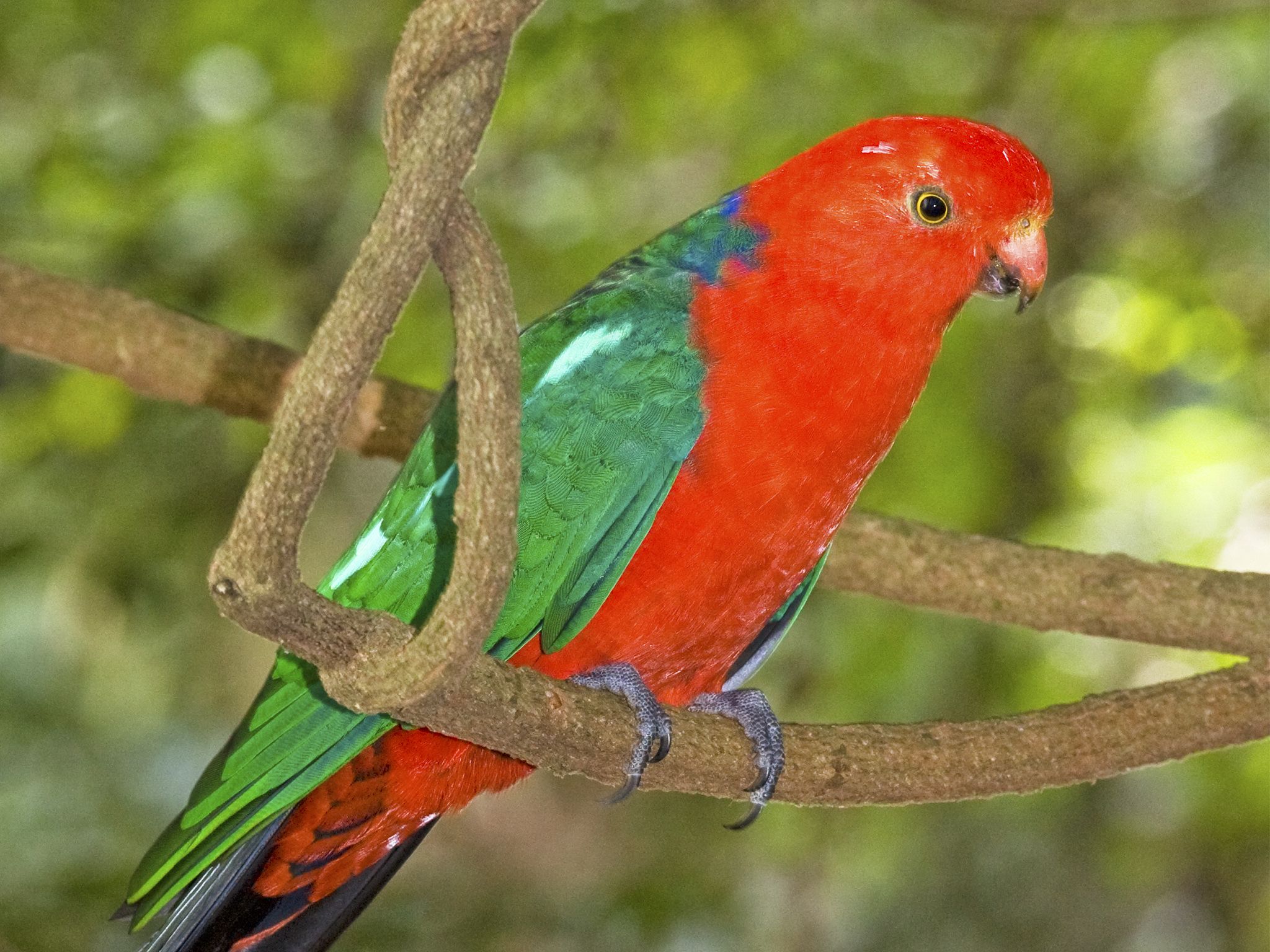
![Look for colourful birdlife, like these king parrots, along the Cherry Plain to Burtons Well track.]() Look for colourful birdlife, like these king parrots, along the Cherry Plain to Burtons Well track.
Photo credit: © Bruce Thomson
Look for colourful birdlife, like these king parrots, along the Cherry Plain to Burtons Well track.
Photo credit: © Bruce Thomson
-
![Explore the fern-carpeted subtropical rainforest of the Cherry Plain to Burtons Well track.]() Explore the fern-carpeted subtropical rainforest of the Cherry Plain to Burtons Well track.
Photo credit: © Bruce Thomson
Explore the fern-carpeted subtropical rainforest of the Cherry Plain to Burtons Well track.
Photo credit: © Bruce Thomson
-
![In spring, the cliff lines are edged with the gold of king orchid flowers.]() In spring, the cliff lines are edged with the gold of king orchid flowers.
Photo credit: Robert Ashdown © Queensland Government
In spring, the cliff lines are edged with the gold of king orchid flowers.
Photo credit: Robert Ashdown © Queensland Government
-
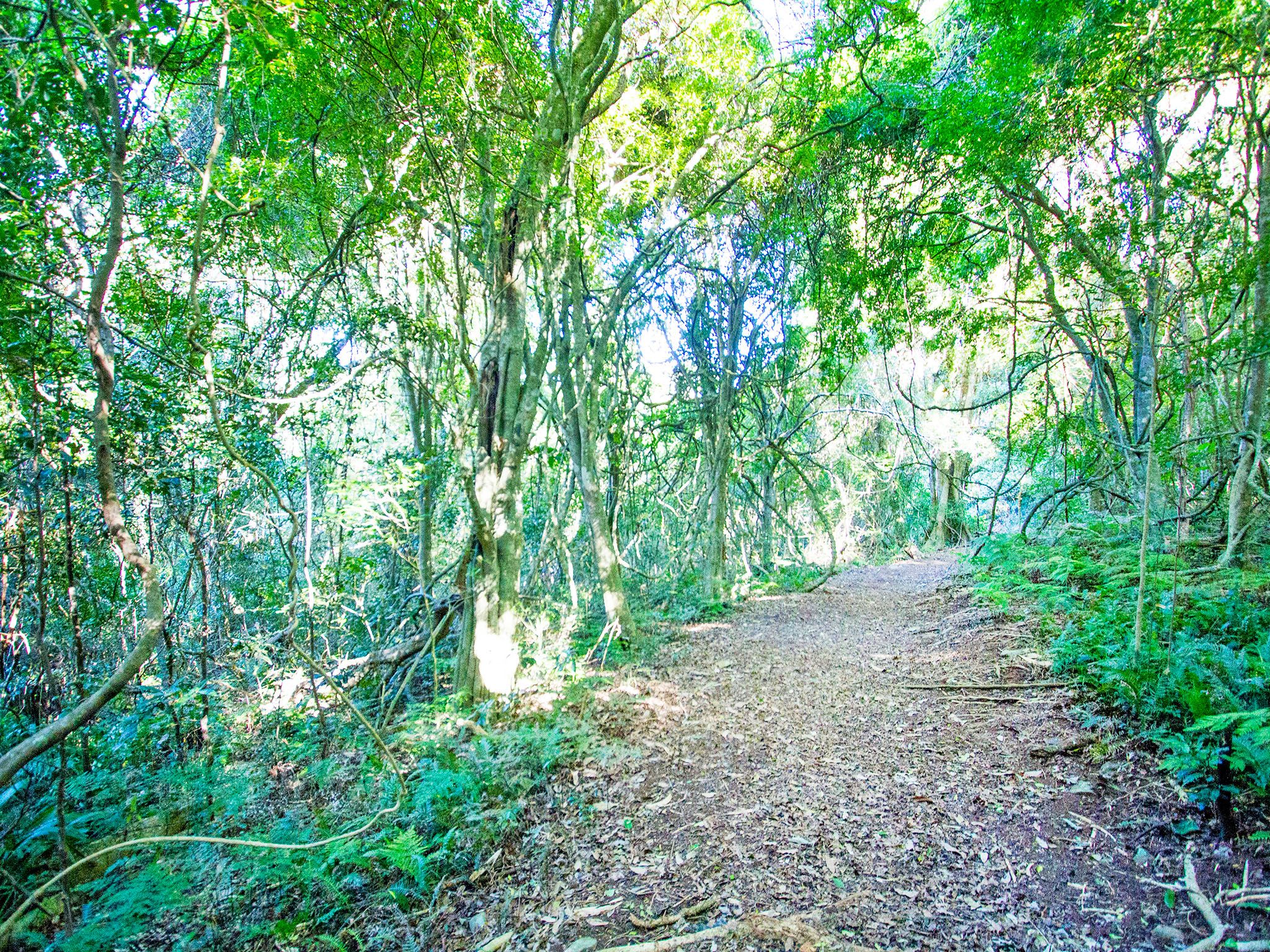
![Rainforest gives way to tangling vine thicket on the Cherry Plain to Burtons Well track.]() Rainforest gives way to tangling vine thicket on the Cherry Plain to Burtons Well track.
Photo credit: Robert Ashdown © Queensland Government
Rainforest gives way to tangling vine thicket on the Cherry Plain to Burtons Well track.
Photo credit: Robert Ashdown © Queensland Government
-
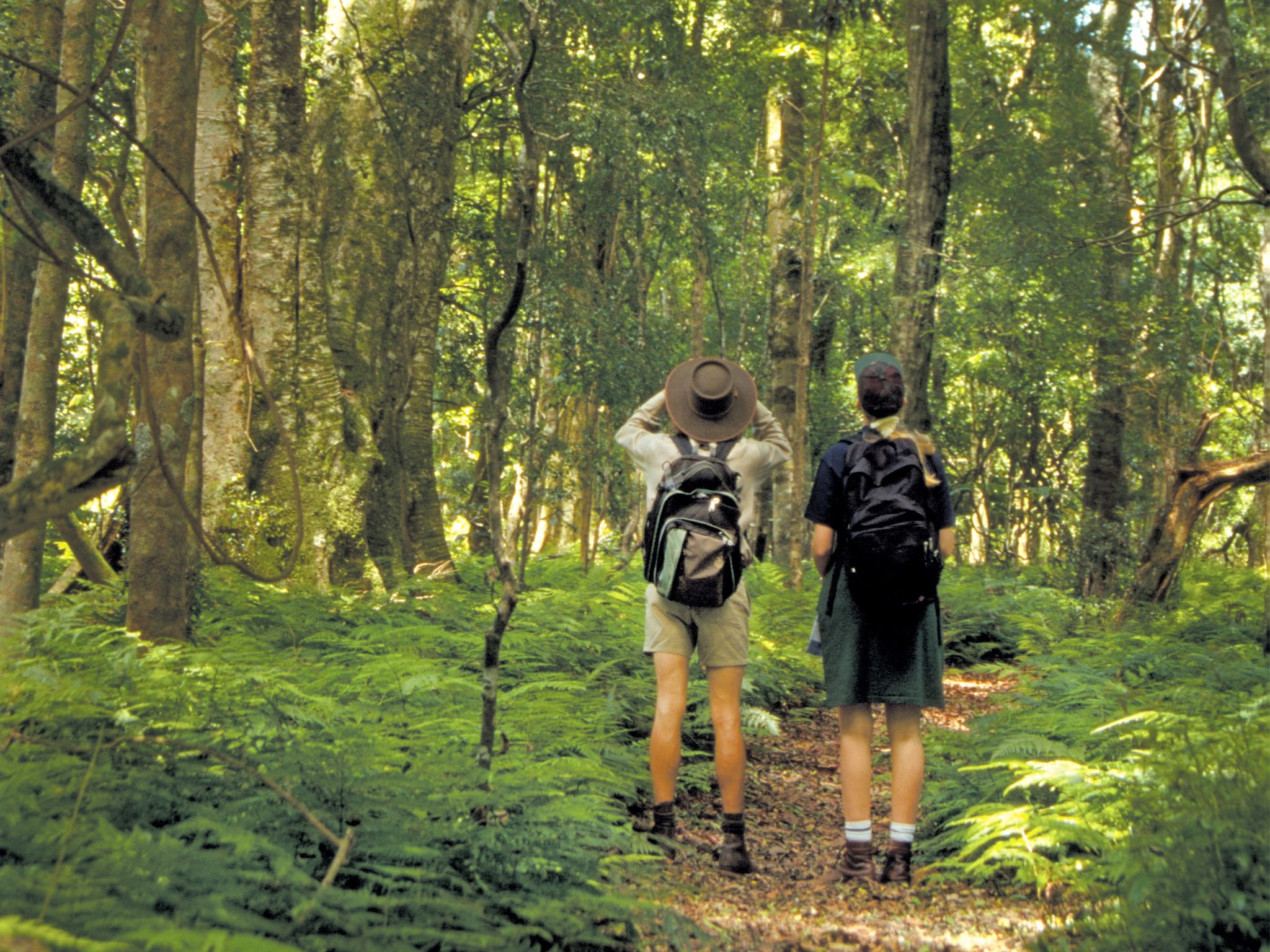
![Bring your binoculars for excellent wildlife watching.]() Bring your binoculars for excellent wildlife watching.
Photo credit: Robert Ashdown © Queensland Government
Bring your binoculars for excellent wildlife watching.
Photo credit: Robert Ashdown © Queensland Government
-
![The Cherry Plain to Burtons Well track has a number of viewpoints including the Cherry Plain lookout.]() The Cherry Plain to Burtons Well track has a number of viewpoints including the Cherry Plain lookout.
Photo credit: Robert Ashdown © Queensland Government
The Cherry Plain to Burtons Well track has a number of viewpoints including the Cherry Plain lookout.
Photo credit: Robert Ashdown © Queensland Government

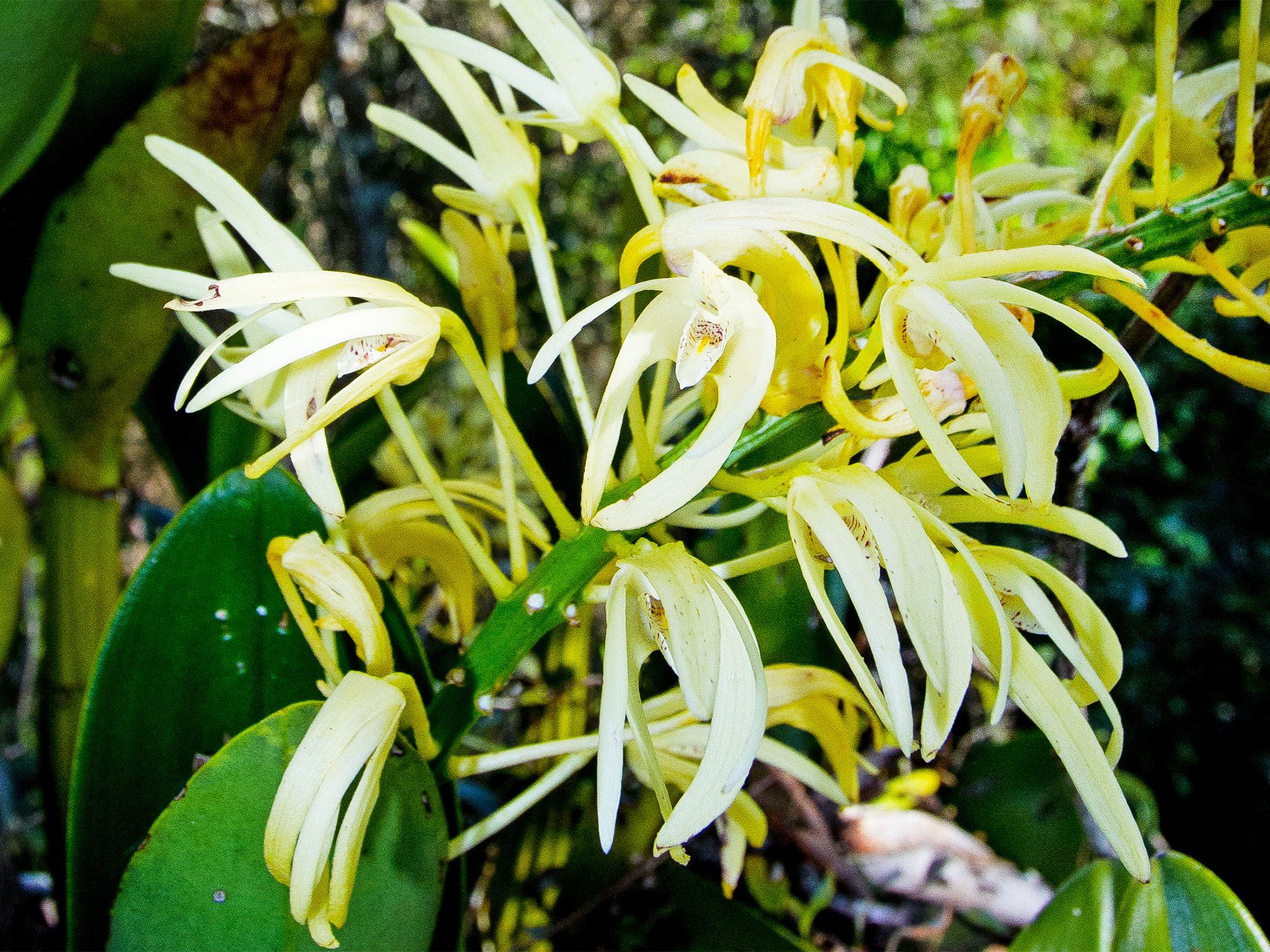
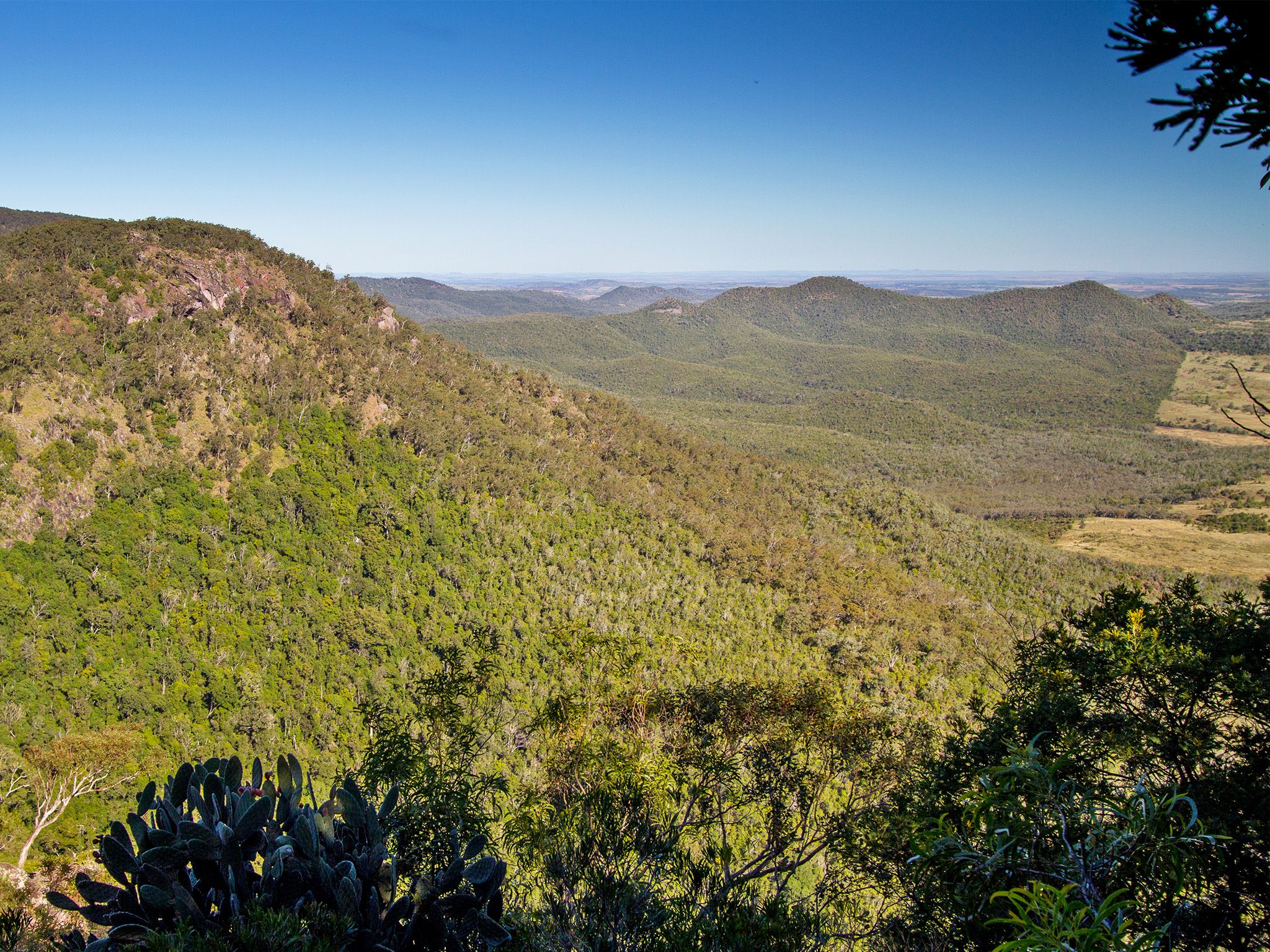
From Burtons Well picnic area, wander through fern-carpeted rainforest along the mountain top and admire views from scenic lookouts, including Bottle Tree Bluff, Ghinghion and Cherry Plain. In spring, marvel at the cliff lines edged with gold as king orchids (Dendrobium speciosum) flower. Walk through pockets of open forest with views over sheltered valleys and distant plains then emerge into open forest and grasslands along the western cliff line.
Listen for the songs of forest birds and the croak of frogs in the gully streams. Scan the forest floor for feasting black-breasted button-quails.
Begin at Burtons Well for the easiest walk. For a shorter walk, arrange to be picked up at Cherry Plain or return to Burtons Well by road (8.4km in total).
Getting there and getting around
The Cherry Plain to Burtons Well track is in the Bunya Mountains National Park, 200km north-west of Brisbane and 125km north-west of Toowoomba in the South Burnett region.
- The track starts from either the Cherry Plain picnic area, 6km along Bunya Mountains Road or Burtons Well picnic area, 8.5km along Bunya Mountains Road from the Dandabah area.
Three steep, narrow and winding routes, signposted as the Great Bunya Drive, lead to the park. The Bunya Mountains Road passes through the park from the south-east to the north.
For more details on how to get to Bunya Mountains National Park, please see getting there and getting around.
Wheelchair access
There are no wheelchair-accessible facilities.
Before you visit
Opening hours
Cherry Plain to Burtons Well walk is open 24 hours a day.
Check park alerts for the latest information on access, closures and conditions.
Visiting safely
For more safety information see Visiting Bunya Mountains safely and Walk with care.
- There are currently no park alerts for this park.