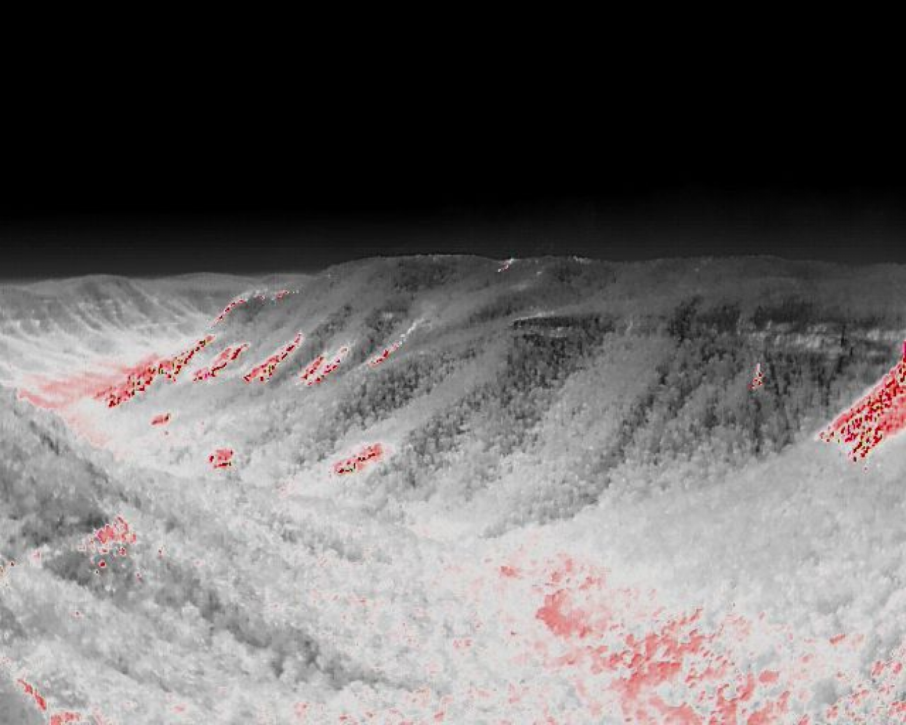
Protecting D’Aguilar National Park through aerial planned burns
- Issued
- 19 June 2026
- Region
As Queensland’s largest land manager, Queensland Parks and Wildlife Service (QPWS) oversees fire management across more than 13 million hectares of publicly protected land, ranging from urban-adjacent conservation parks to vast, remote national parks.
To implement planned burns effectively in these diverse environments, QPWS uses aerial ignition to reach large or inaccessible areas at optimal times for burning.
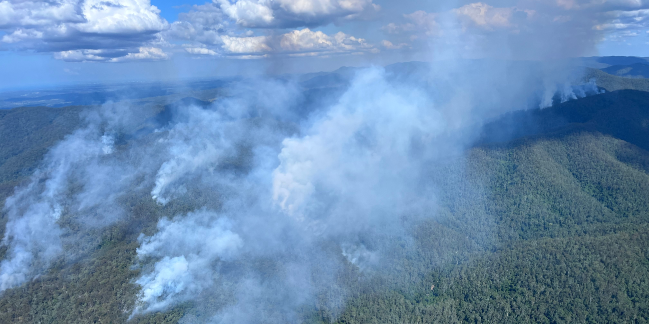
Aerial, broadscale burning requires careful planning and assessment of the target area’s topography and ecosystems to identify the most suitable areas for ignition, working with the landscape and natural fire breaks to achieve burn objectives without the need for extensive ground-based crew support in difficult terrain.
In mid-April, QPWS undertook two aerial planned burns in the Mount Mee section of D’Aguilar National Park north of Brisbane, introducing beneficial fire into long-unburnt parts of the 39,000-hectare protected area.
Rangers strategically dropped ignition tablets along mountain ridges within the burn areas to implement a slow, backing fire that burnt gradually downslope before extinguishing naturally as it reached moist areas and less flammable vegetation to achieve effective containment.
Crews on the ground supported the aerial operation by monitoring a 33km perimeter of the burn to ensure secure containment and that operational objectives were achieved.
One of the key coordinators of the aerial operation, Greater Brisbane North Senior Ranger Dave, said the thorough planning and extensive stakeholder engagement that took place ahead of the aerial burn gave crews the confidence to undertake broadscale burning in an area so close to two of Queensland’s major cities – Brisbane and Moreton Bay.
‘With all of the planning and preparation completed ahead of time, we were ready to select the ideal weather window to achieve a low-intensity burn,’ Senior Ranger Dave said.
‘Another key priority was effective communication with local communities and our partners, ensuring all relevant stakeholders were informed and prepared for potential smoke impacts before and during the operation.’
As a result of the planned burn, Rangers treated more than 2,000 hectares of fire-adapted landscape in less than two hours.
Senior Ranger Dave said trying to achieve this same result using on-ground crews would have taken weeks and would not have been possible in inaccessible areas.
‘Historically, burns often covered smaller areas, leaving inner sections of blocks untreated and creating uneven fuel patterns,’ he said.
‘The aerial approach allows us to undertake broadscale conservation burns simultaneously, burning areas that would otherwise remain vulnerable to bushfire or an absence of beneficial fire.’
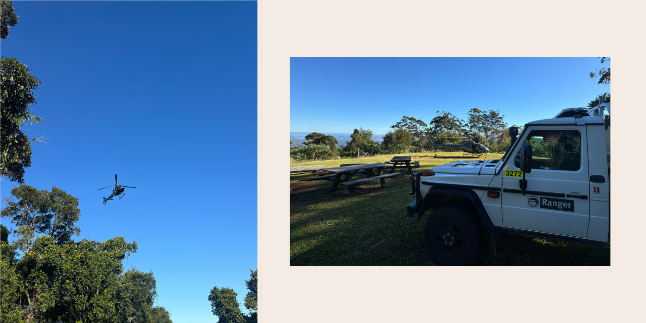
The outcomes of these recent aerial planned burns highlight the strength of combining contemporary firefighting techniques, traditional knowledge, and strategic planning.
By working with the landscape, planning ahead and working with our partners across tenures, QPWS is in a prime position to protect Queensland’s natural areas, reduce bushfire risk to neighbouring communities, and conserve these important landscapes for future generations.
To learn more about QPWS fire management activities or to stay informed about upcoming planned burns, visit the QPWS fire management webpage here.
Related articles
-
Issued 17 February 2026
From real-time heat mapping to safer decision-making, this technology is transforming fire management.
-
Issued 4 August 2025
Look no further than our Junior Ranger programs to inspire your conservation-minded child.
-
Issued 26 May 2025
For over 20 years, award-winning childrens’ television program Totally Wild brought the love of parks into our homes.