Baŋgurru camping area – numbered sites
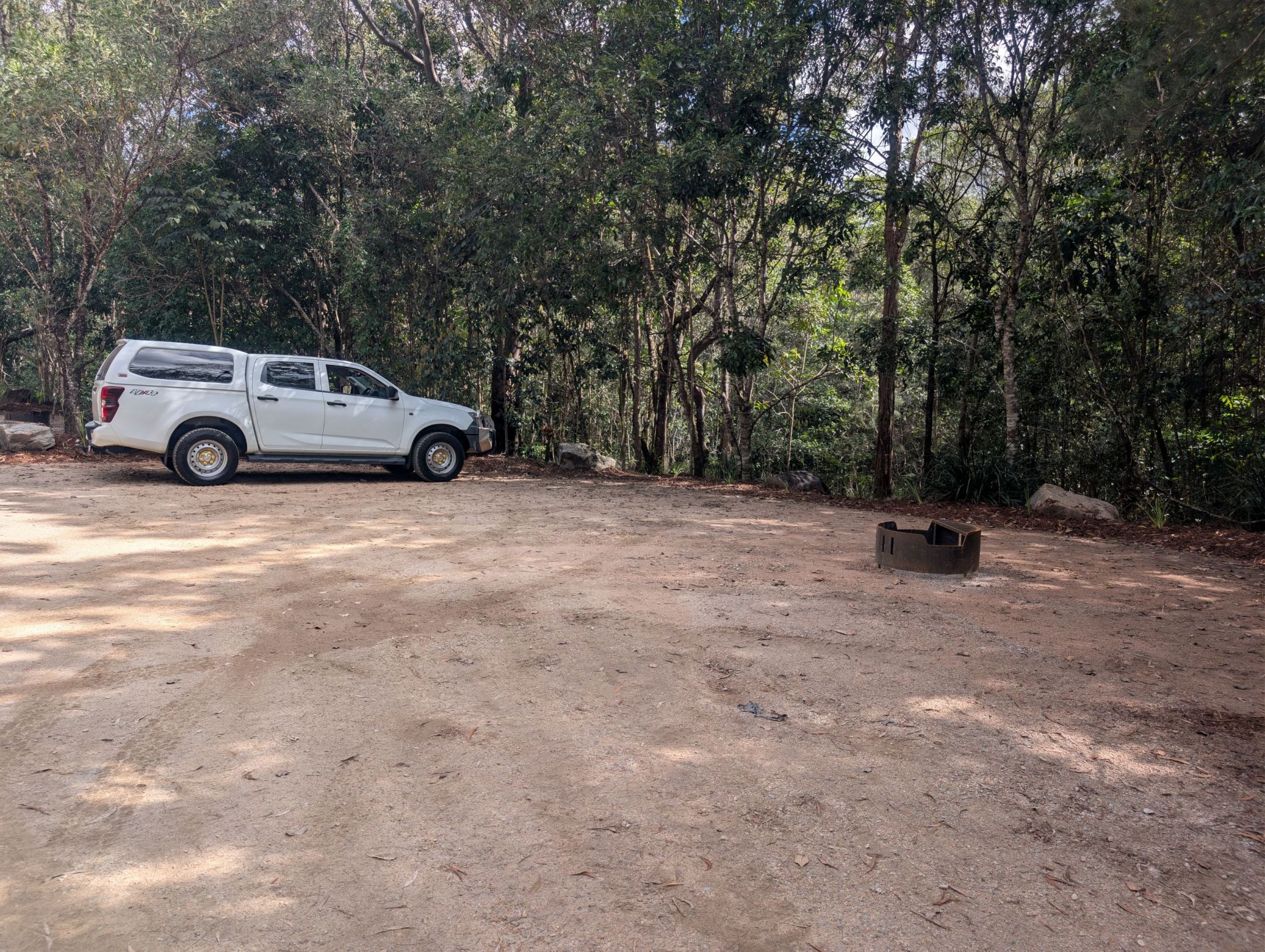
These numbered multi-use camp sites are part of Baŋgurru camping area, Wallaman Falls. Set in open woodland near Stony Creek, there are 10 numbered camp sites in total. Camp site 1 is an accessible (with assistance) camp site for people with disability (PWD) displaying a government issued disability parking permit.
Accessible by
- Conventional vehicle
Camping area facilities
- Campfires allowed (conditions apply)
- Telephone (pay phone)
- Toilets (non-flush)
- Wheelchair access (may require assistance)
- Tent camping
- Caravan camping
- Camper trailer camping
- Campervan camping
- Motor home camping
- Cold showers
- Swimming
-
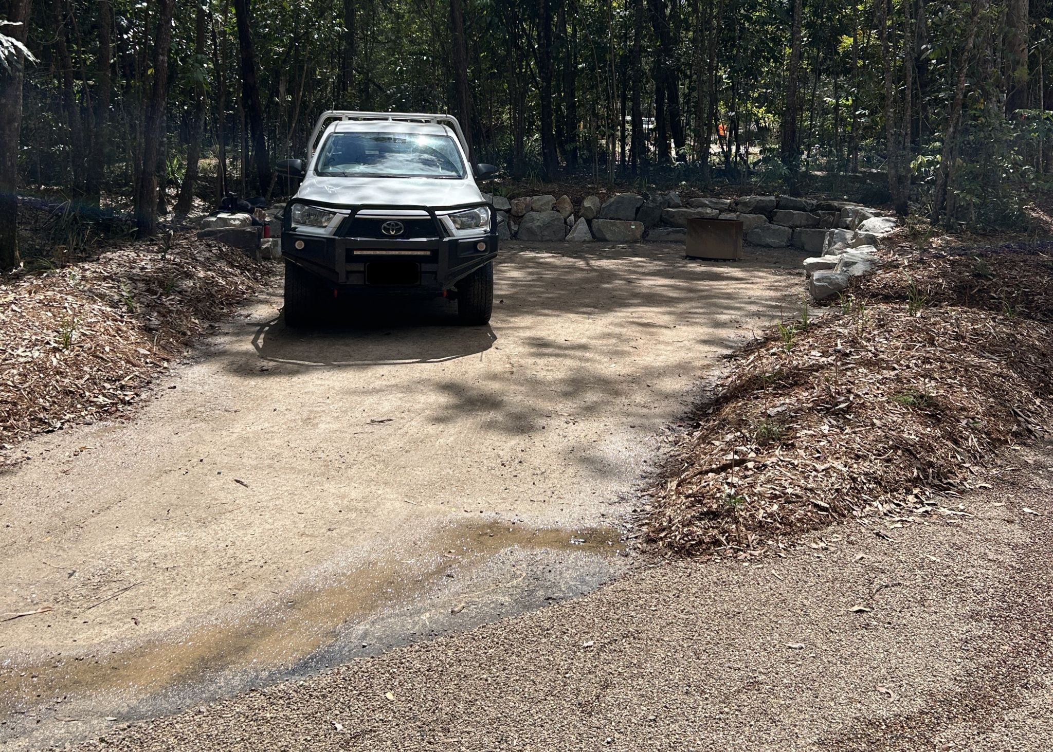
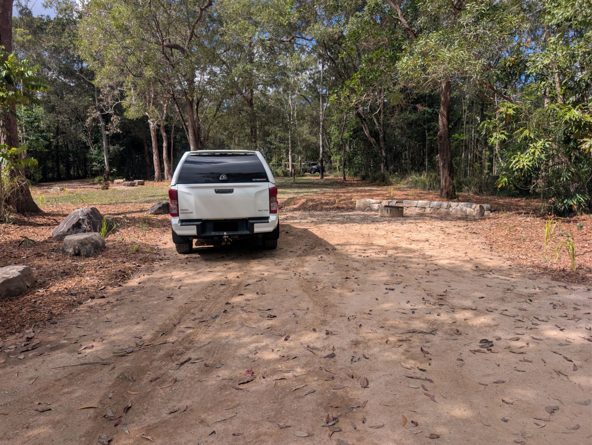
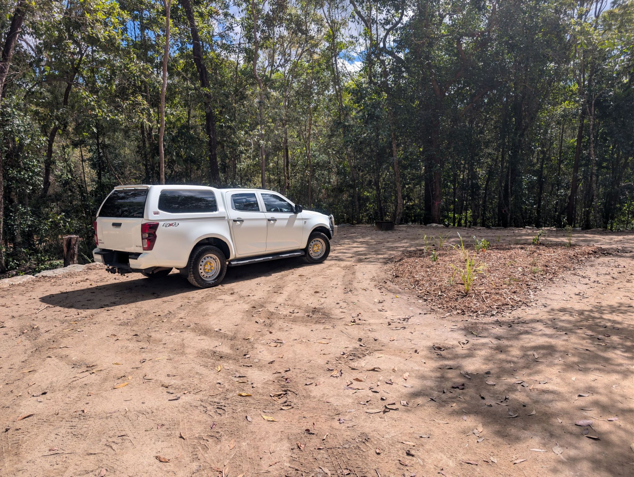
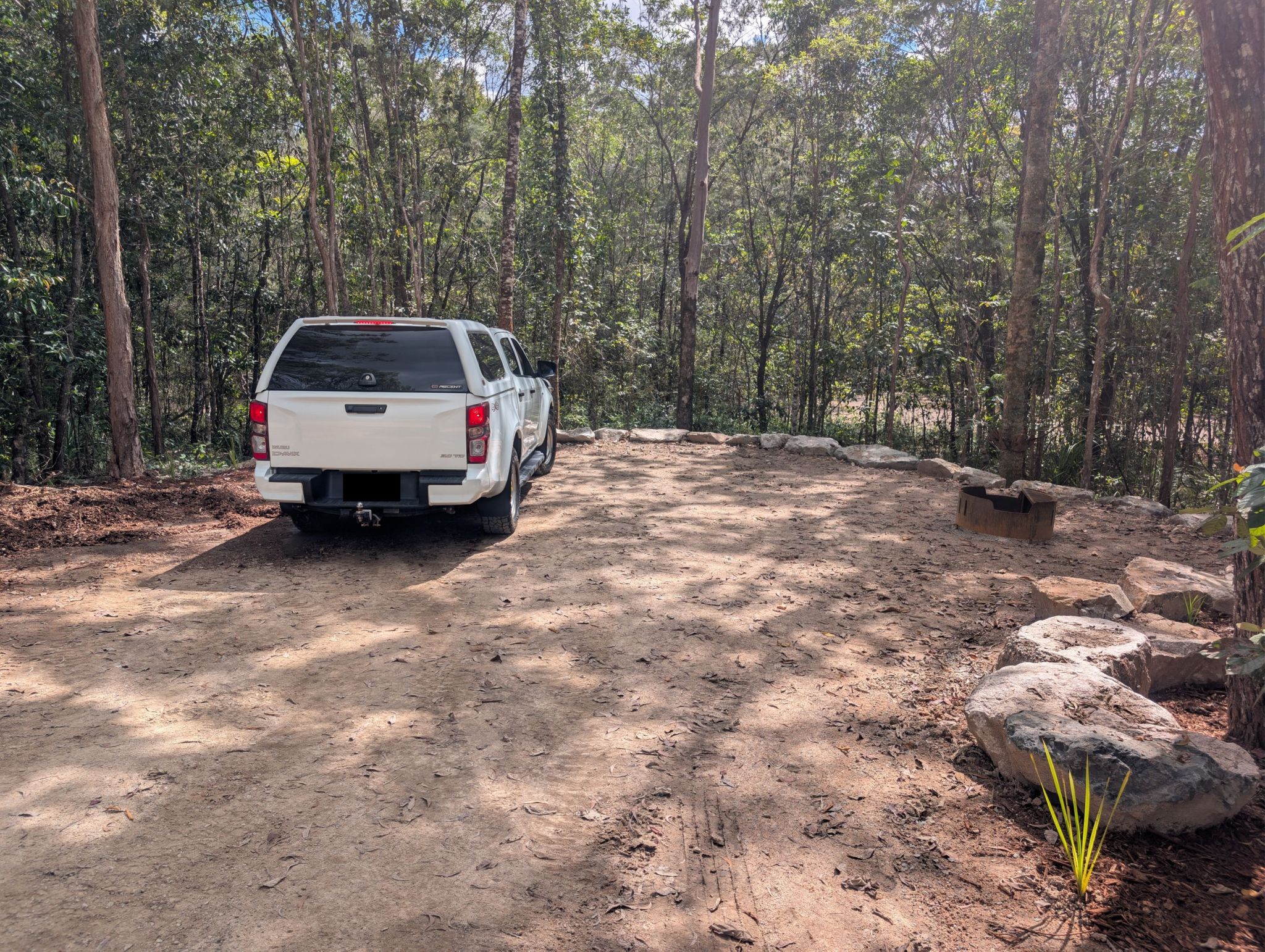
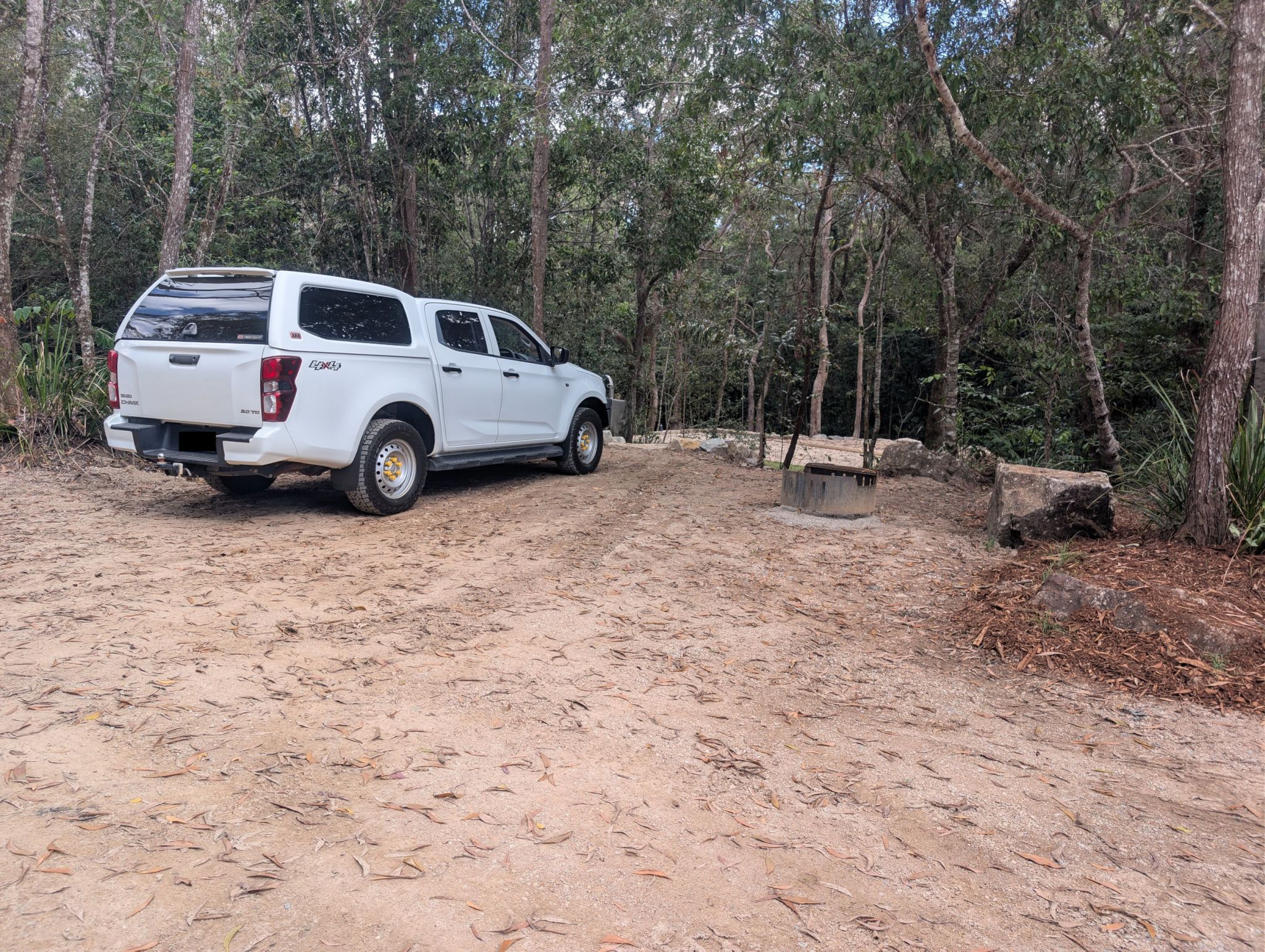
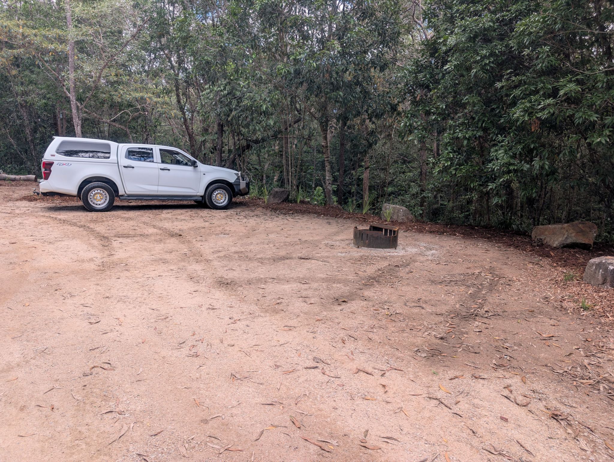
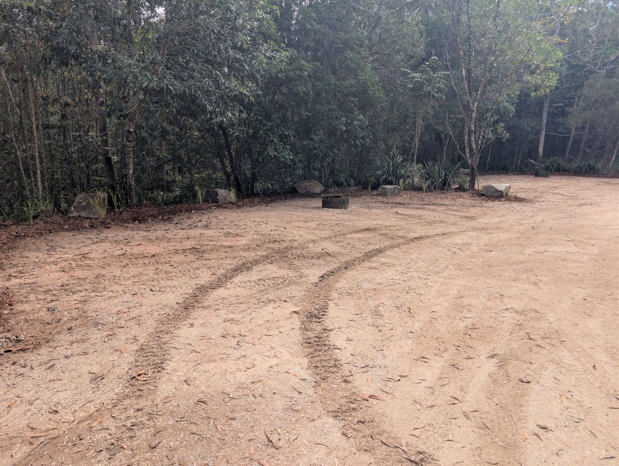
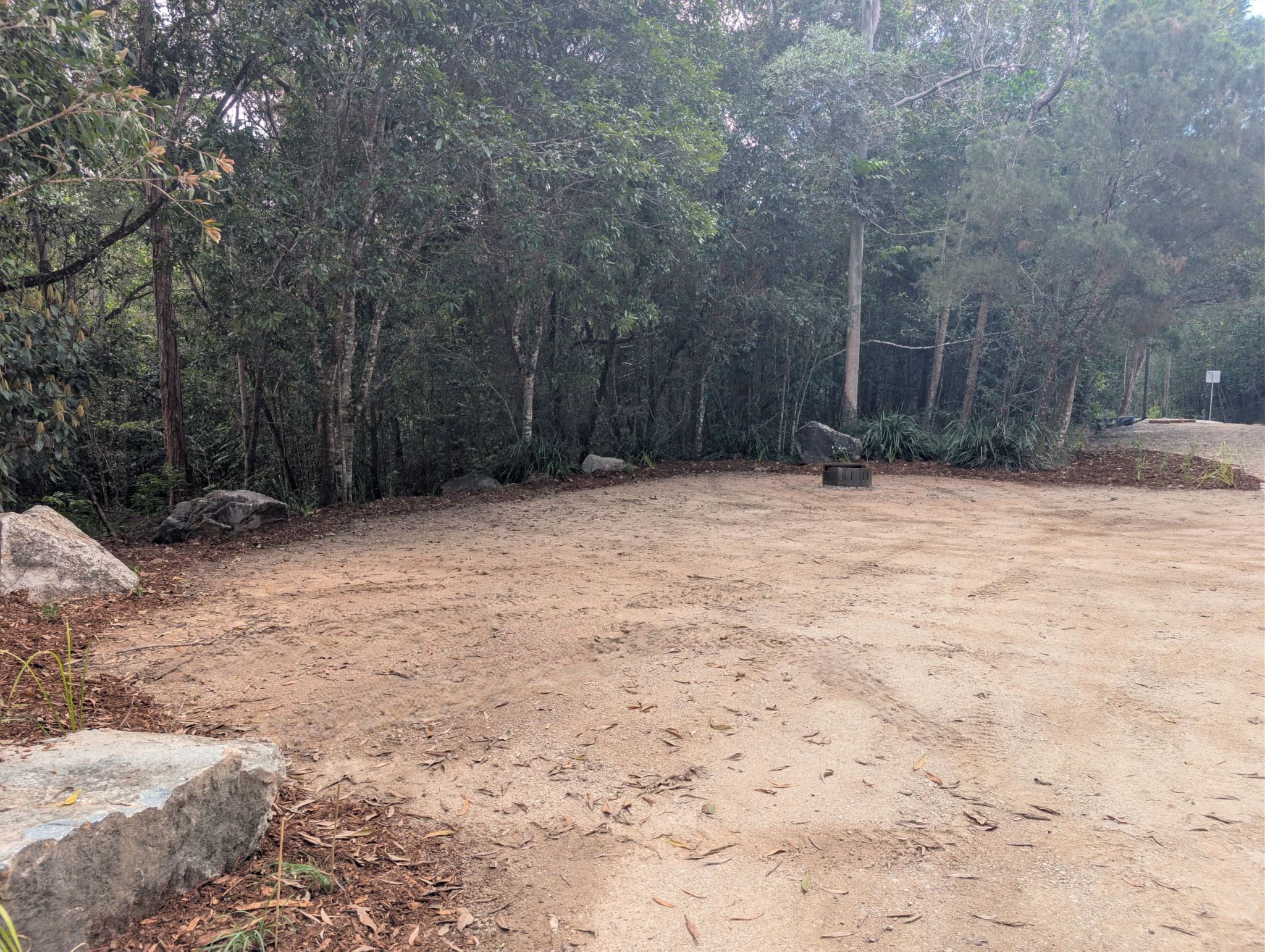
![]() Camp site 1. Accessible camp site (with assistance)
Camp site 1. Accessible camp site (with assistance)
-
![]() Camp site 2
Camp site 2
-
![]() Camp site 3
Camp site 3
-
![]() Camp site 4
Camp site 4
-
![]() Camp site 5
Camp site 5
-
![]() Camp site 6
Camp site 6
-
![]() Camp site 6
Camp site 6
-
![]() Camp site 7
Camp site 7
-
![]() Camp site 8
Camp site 8
-
![]() Camp site 9
Camp site 9
-
![]() Camp site 9
Camp site 9
-
![]() Camp site 10
Camp site 10
-
![]() Camp site 10
Camp site 10
Always check
- Park alerts for the latest information on access, closures and conditions.
- Bureau of Meteorology weather forecasts.
- Current bushfire warnings and incidents and also fire bans and restrictions.
- Your camping permit is booked.
- Any park-specific camping information for Wallaman Falls.
- Visiting Wallaman Falls safely for important safety information.
Camping area features: numbered, multi-use camp sites set in open woodland near Stony Creek.
Location: Baŋgurru camping area is located at Wallaman Falls, 51km south-west of Ingham.
Maps:
Access:
- The camping area can be reached by conventional vehicle.
- Baŋgurru camping area – numbered sites, can accommodate tents, camper trailers, campervans, small caravans and small motorhomes. Hinchinbrook Shire Council have installed a sign indicating the access road to the camping area is unsuitable for trucks, buses, caravans and trailers, please contact the council for further information about the road access.
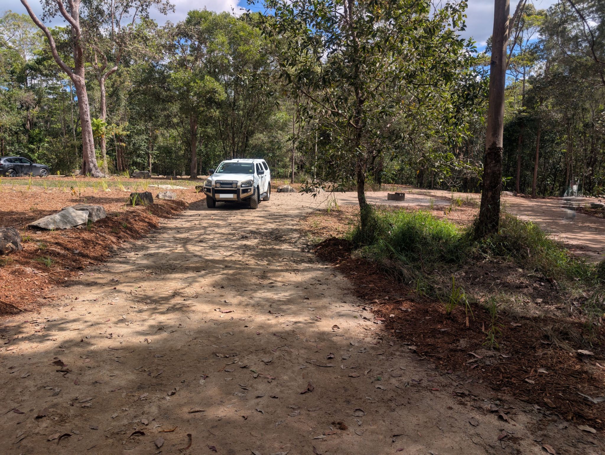
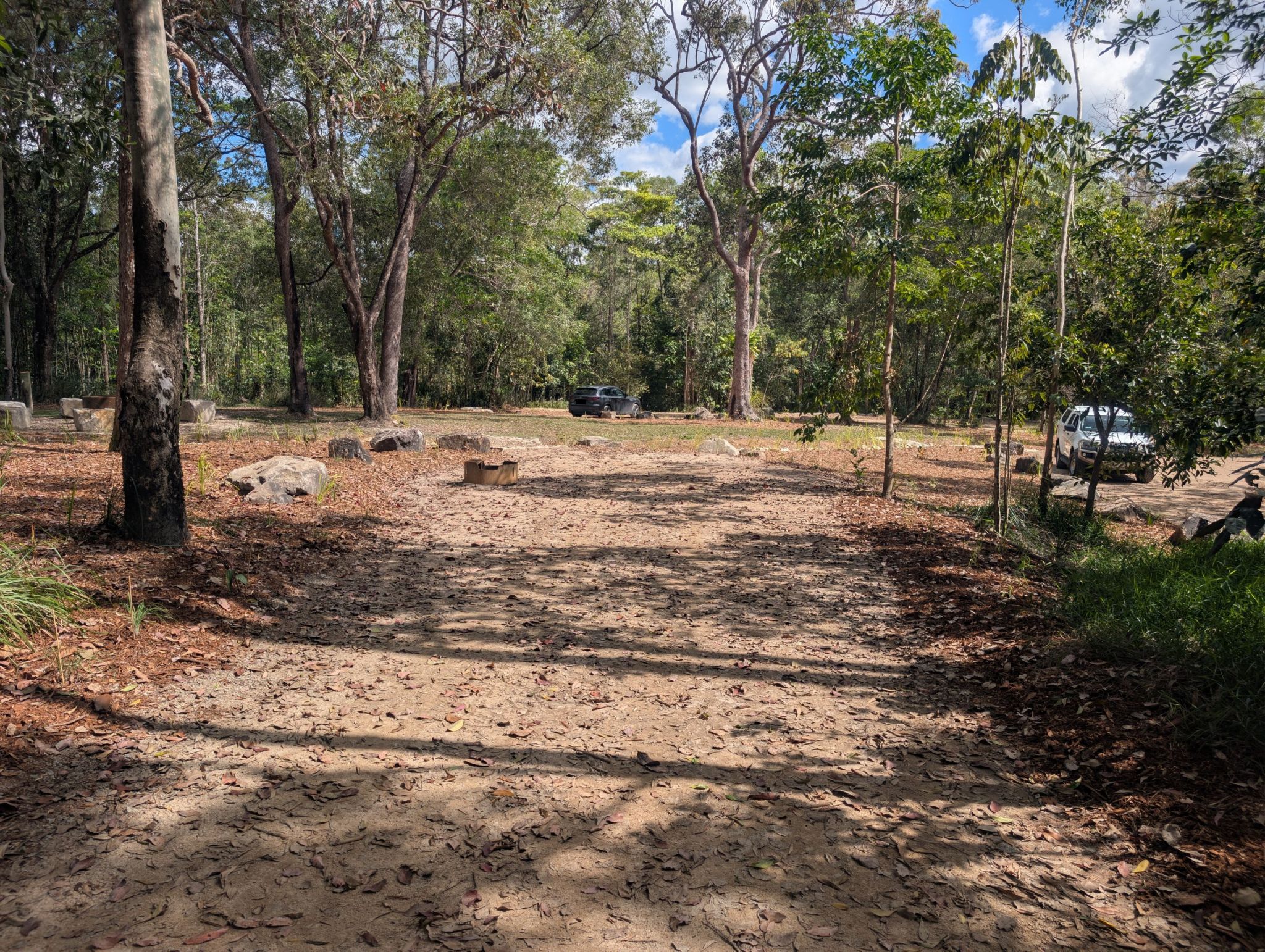
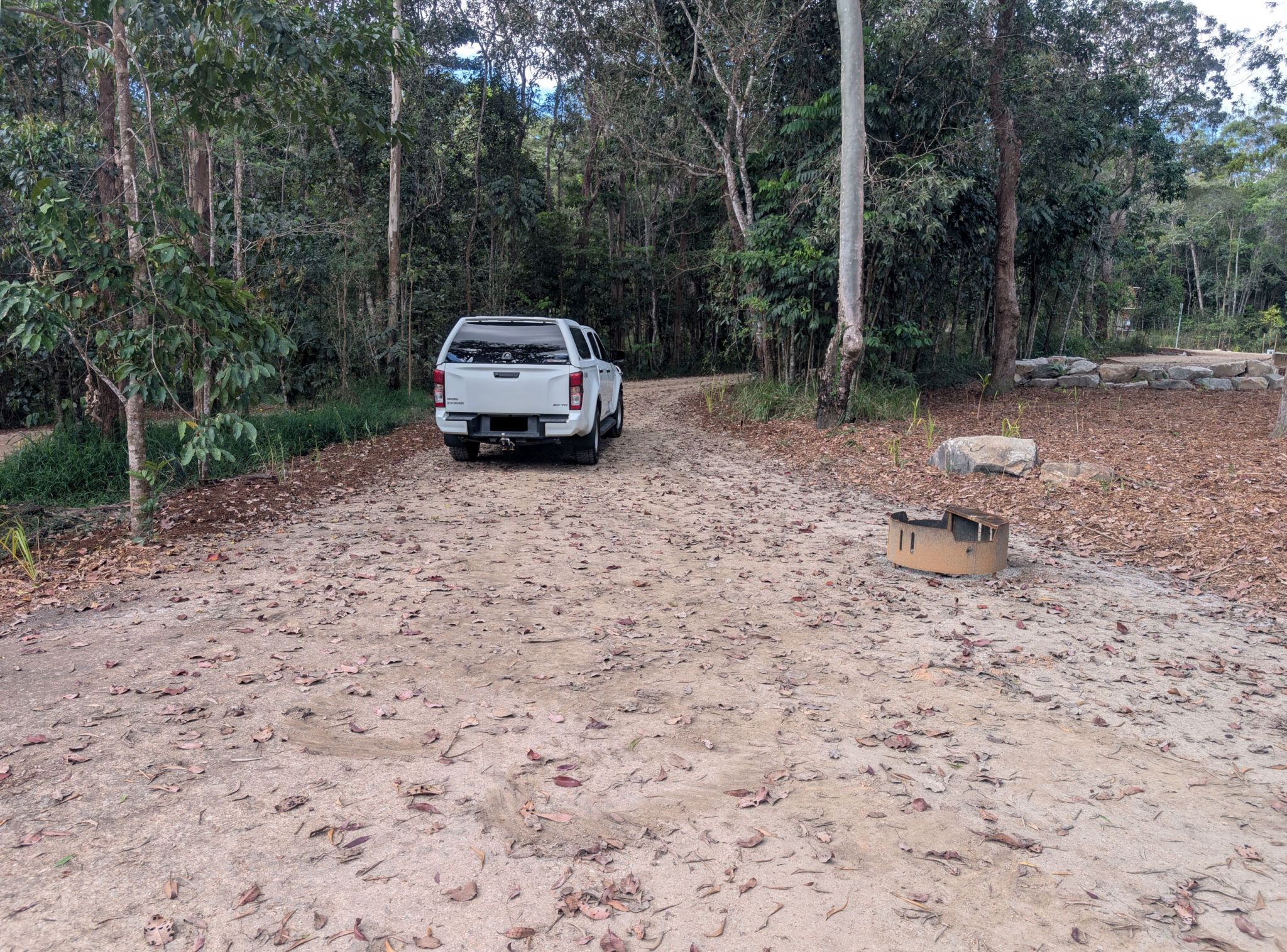
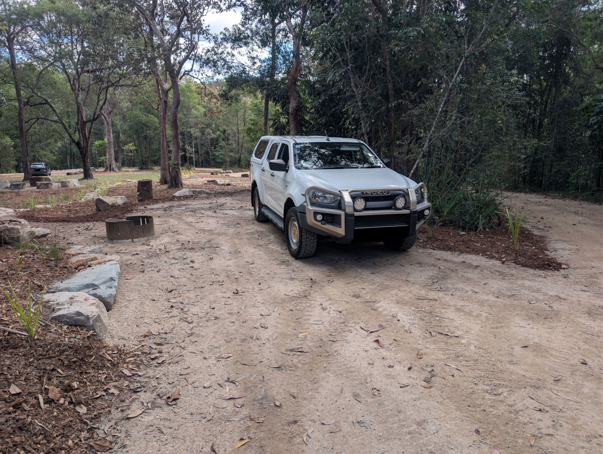
Number of sites: 10 numbered sites, each with an individual fire ring. Camp site 1, is an accessible (with assistance) camp site for people with disability (PWD) displaying a government issued disability parking permit. Sites have the capacity of 5–10 people. See table below for more information.
Camp site number | Site dimensions | Suitable for | Number of vehicles (max.) | Number of people (max.) | Shade |
|---|---|---|---|---|---|
| 1 Accessible with assistance (PWD)
| Long and narrow (12.8m x 5.6m) Refer to camping area map for approximate shape. | Reverse in only site
| 1 | 5 | Partial shade |
| 2 | Short and wide (11.5m x 7.2m) Refer to camping area map for approximate shape. |
| 1 | 5 | Mostly sunny |
| 3 | Long and narrow (22m x 5.4m) Refer to camping area map for approximate shape. | Drive through site.
| 2 | 10 | Partial shade |
| 4 | Small (9.5m x 6.5m) Refer to camping area map for approximate shape. |
| 1 | 5 | Partial shade |
5 | 6m x 9.5m (with an additional 6m x 3m of long thin driveway/parking area) Refer to camping area map for approximate shape. | Reverse in only site.
| 2 | 5 | Sunny |
| 6 | Long and narrow (13.3m x 4.5m) Refer to camping area map for approximate shape. | Reverse in only site.
| 1 | 5 | Partial shade |
| 7 | Short and narrow (8m x 5m) Refer to camping area map for approximate shape. | Reverse in only site.
| 1 | 5 | Shady |
| 8 | Short and wide (6.3m x 6.2m) Refer to camping area map for approximate shape. |
| 1 | 5 | Partial shade |
| 9 | Short and wide (5m x 11.5m) Refer to camping area map for approximate shape. |
| 1 | 5 | Partial shade |
| 10 | Short and wide (7.3m x 13m) |
| 1 | 5 | Partial shade |
Camp sites are suitable for: tent camping beside your car, walk-in camping, camper trailers, small campervans, small motorhomes and small caravans.
Camp site surface: compacted gravel.
Facilities: composting toilets, cold water shower, picnic tables, individual fire ring at each site, communal fire ring (BYO clean, milled timber) and a free public phone is available.
Open fires: allowed (except when fire bans apply) within the fire rings provided. Bring your own clean, milled firewood. Collecting firewood in Girringun National Park is prohibited – everything is protected.
Generators: not permitted.
Essentials to bring: drinking water (treat all water from camping area before drinking), rubbish bags, fire wood (clean, milled timber), insect repellent. Read more about before you visit.
Mobile phone coverage: is not available. A free (local and national calls) public phone is available at the camping area.
Getting there and getting around
Baŋgurru camping area is located approximately 51km south-west of Ingham. Travel west from Ingham along Abergowrie Road to Trebonne. From here, the route is well signposted. As you approach Wallaman Falls, a signposted T-intersection indicates Wallaman Falls lookout on the right and Baŋgurru camping area straight ahead.
For more information see getting there and getting around.
Wheelchair access
Wheelchair access (with assistance), is possible to the Baŋgurru camping area toilet. Camp site 1 at Baŋgurru camping area, is an accessible (with assistance) camp site for people with disability (PWD) displaying a government issued disability parking permit.
Before you visit
Bookings
Book online or by phone prior to arrival on 13 QGOV (13 74 68). Advance bookings are required for holiday periods.
Visiting safely
For more safety information see Visiting Wallaman Falls safely and camp with care.
- Temporary camping areas and walking track closures: Wallaman Falls and section of Wet Tropics Great Walk, Girringun National Park 8 April to 16 October 2026
- Planned burn season: Oak Hills, Girringun National Park 3 June to 30 October 2026
- Planned burn season: Wet Tropics Great Walk between Stony Creek walkers’ camp and Henrietta Gate pick up point, Girringun National Park 3 June to 31 October 2026
- Planned burn season: mountain range south of Wallaman Falls Road, Girringun National Park 15 June to 31 October 2026