Smith track from Speewah to Kamerunga
This moderate walk with steep sections passes through rainforest, wet eucalypt forest and grasslands with a variety of historical and natural features.
- Journey type
- Walk
- Distance
- 8.5km one way from Speewah Conservation Park (or via Yalbogie track, 10.3km one way) one way A path where the start point is different to the finish point
- Time suggested
- Allow 3.5hr walking time (or via Yalbogie track, 4hr one way)
- Grade
- Moderate (walk)
Accessible by
- Conventional vehicle
Journey facilities
- Lookout (natural)
- Walking
-
![Yalbogie track crosses several picturesque creeks]() Yalbogie track crosses several picturesque creeks
Photo credit: © HolidayTravelTV.com
-
![Photo of Smith track, which is a moderate walk passing through rainforest]() Smith track is a moderate walk passing through rainforest
Photo credit: © HolidayTravelTV.com
-
![Photo of Stoney Creek when the flow is rapid]() Do not attempt to cross Stoney Creek when the flow is rapid
Photo credit: © HolidayTravelTV.com
-
![Photo of a golden orb spider on Yalbogie track, Barron Gorge National Park]() Golden orb spider on Yalbogie track, Barron Gorge National Park
Photo credit: © HolidayTravelTV.com
-
![Photo of Lawyer cane, which is common along Smith track]() Lawyer cane is common along Smith track
Photo credit: © HolidayTravelTV.com
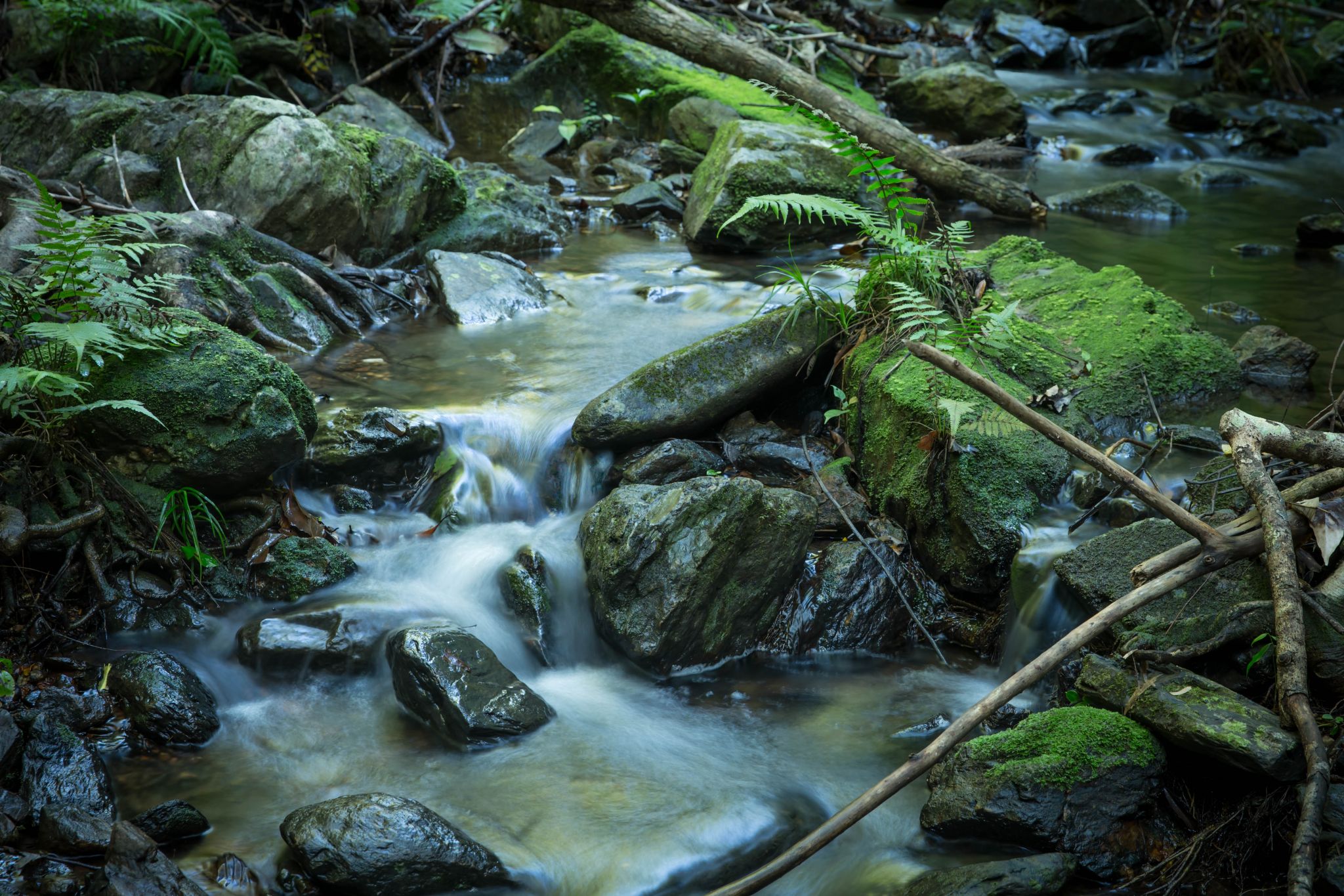
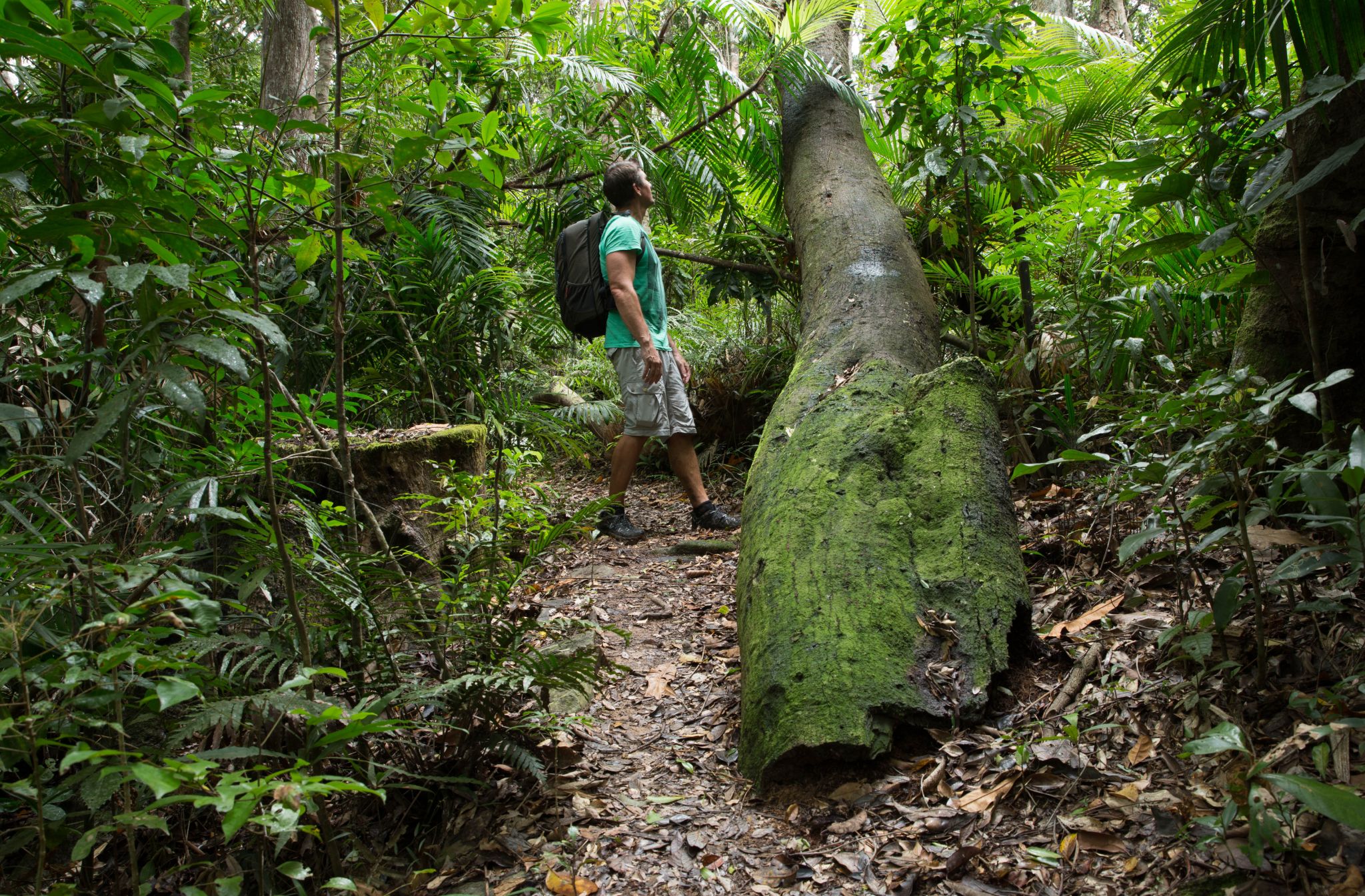
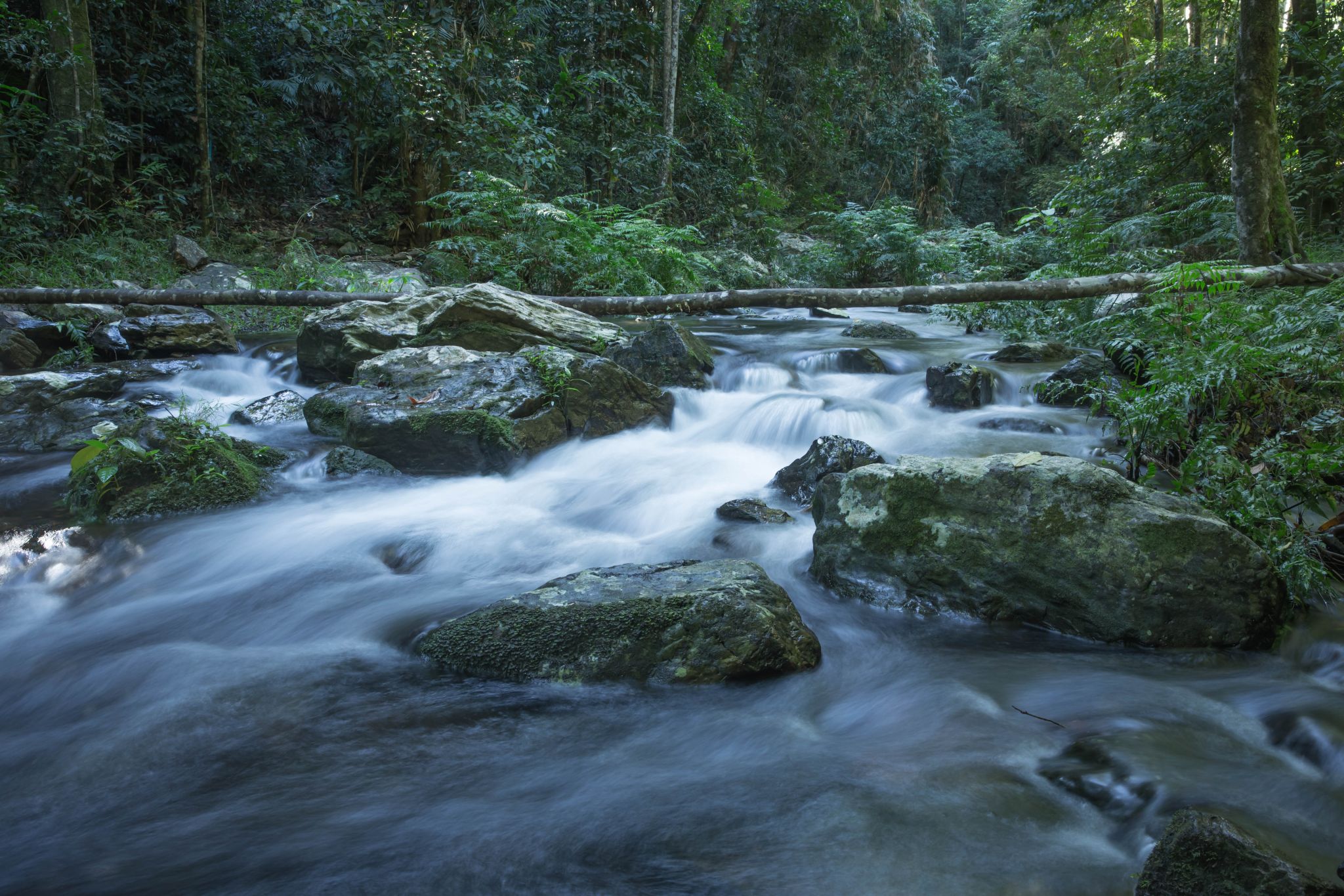


These track notes refer to sections of tracks between the numbered map locations indicated on the Barron Gorge National Park map.
Note: Starting Smith track from Kamerunga at the Smith trailhead (map location 11) is not recommended unless you are very fit.
Map location 13 to 5
From the car park at Speewah Conservation Park (13) take Djina-Wu track to (5) and turn right.
Map location 5 to 6
After a short distance, the track begins a steep climb. Stinging trees and lawyer cane are common in this section. The track climbs through a tall stand of rainforest trees, many with buttress roots. On a short flatter section of track, look for the beautiful staghorn fern Platycerium superbum high on the trunks of trees. After a short steep climb, a ridge top provides views through the trees. At the top of another ridge is a beautiful stand of rainforest with maple silkwood Flindersia pimenteliana before the track winds on to map location 6.
Map location 6 to 7
Turn left at (6). This section of track follows an old logging track. Immediately to the right, notice two rose gums Eucalyptus grandis. After the green gate the track descends, winding through rainforest. The candlenut tree Aleurites moluccanus, with its broad, pointed leaves and nuts that can be moulded into a candle, is common along this section. Cadagi Corner (7) features a beautiful stand of cadagi trees.
Option
From (7), continue to Toby lookout (9) along either Smith track (turn left), with views over Stoney Creek gorge and falls, or Yalbogie track (turn right), past giant kauri pines and old mining sites.
Map location 7 to 8
Turn left at (7). The track leaves the old logging route, becomes narrower and re-enters mature rainforest. Soon, rainforest begins to change to wet eucalypt forest. Rose gums, large-fruited red mahoganies Eucalyptus pellita and pink bloodwoods Corymbia intermedia dominate the canopy. The bloodwood’s spotted urn-shaped seed-capsules may be scattered along the track.
Option
At (8), continue along Smith track (turn right) or turn left onto the Gandal wandun track (8 to 4) to join Douglas track. Gandal wandun track is an easy, undulating 1.4km rainforest walk that links the Smith and Douglas tracks, providing shorter return walk options from both Kamerunga and Speewah trailheads.
Map location 8 to 9
From (8), the track winds along a ridge top, then descends into a gully and crosses the side of a steep ridge. It leads on to a ridgeline before descending back into rainforest. Remains of stone pitching from miners’ camp sites can be seen along the way.
Take care when crossing Stoney Creek. Do not attempt to cross when the flow is rapid or during wet conditions. From Stoney Creek the track winds up a steep embankment and then through a switchback section, providing views of Stoney Creek gorge, the railway line and Glacier Rock. Do not attempt to walk to the top of Stoney Creek Falls from here.
The track continues to Toby lookout (9).
Map location 7 to 9 (alternate route via Yalbogie track)
Turn right at (7). Yalbogie track follows on old logging road through rainforest and for a short section passes through Dinden National Park. At The Kauris, two giant kauri pines Agathis robusta grow close to the track. Lawyer cane is prevalent in areas indicating past disturbance by cyclones or early logging and mining activities. Along the track historic stone-pitched benching and mining shafts remain, relics of earlier mining days.
Toby lookout
Toby lookout (9) provides excellent views across to Glacier Rock and the coastal lowlands. A mining camp in the late 1800s, this site was later used as a seasonal camp by Mr and Mrs Toby in the 1940s. Cattle once roamed this area, and overnight mustering camps were temporarily established on the route between Cairns and Mareeba. The area was once open grassland and was ‘a prime place to stop and let the cattle graze’. Mrs Toby served tea to local stockman as they mustered horses and cattle between Cairns and Mareeba.
Map location 9 to 10
The track continues to a ridge top and then descends through open woodland. The track now begins a long, steady climb to another ridge top, mostly through sheoak groves, cycads and open forest, then traverses the ridge face. Grasslands for grazing were maintained in this area for more than 100 years.
Map location 10 to 11
Just before the track begins its long descent from (10), look across to Glacier Rock and Red Bluff. Take your time and watch your footing on the steep descent. The track winds through open forest, grassland and beautiful cycad gullies. Towards the bottom, ironbark trees Eucalyptus drepanophylla, with deeply fissured bark, grow in rocky areas. The track then does a switchback through an old railway construction camp before reaching a vine forest and creek. The track ends at the Smith trailhead on Stoney Creek Road, Kamerunga (11).
Getting there and getting around
Barron Gorge National Park map
This walk starts from Speewah Conservation Park (map location 13) in the upper (tableland) section of Barron Gorge National Park. Take Djina-Wu track (13 to 5) and turn right onto Smiths track.
Note: Starting Smith track from Kamerunga at the Smith trailhead (map location 11) is not recommended unless you are very fit.
Wheelchair access
There are no wheelchair-accessible facilities.
Before you visit
Opening hours
Smith track is open 24 hours a day.
Visiting safely
For more safety information see Visiting Barron Gorge safely and Walk with care.