Things to do
Camping and accommodation
Camping is not currently permitted in Peak Range National Park.
Other accommodation
Camp sites are available at Theresa Creek Dam, 22km south-west of Clermont. A range of other accommodation including hotels, camping and caravan parks can be found at Clermont. For more information, see the Isaac Region and explore the Clermont area. There are also a range of neighbouring towns, including Nebo, Moranbah and Dysart, for accommodation and supplies.
Walking
A formal walking track is provided in the Gemini Mountains section of the national park. For more information see Journeys.
Remote hiking
The Lords Table Mountain section of the national park offers bushwalking opportunities for experienced and well-prepared hikers. It is remote walking. There are no directional signs or formal walking tracks.
Remember, accidents have happened to even the most experienced bushwalker. A high level of physical fitness, navigational and first-aid skills are essential for undertaking a remote hike in this national park.
Before embarking on a remote walk, research and plan your trip well in advance. If you intend to embark on a bushwalk in a remote area, remember to tell a responsible person where you are going and when you expect to return. Let them know your route and contact them on your return. Have a contingency plan if you fail to contact them by the agreed time. If you change your plans, inform them.
Follow the Parks and forests walk with care remote walking guidelines, and check the Peak Range National Park visiting safely and park alerts on this webpage before you visit.
For your safety, do not climb cliff or rock faces. Climbing slippery rocks, steep cliffs, and rock faces can result in falls. Landing on slippery scree or being struck by falling rocks can lead to serious injury or death.
Lords Table Mountain
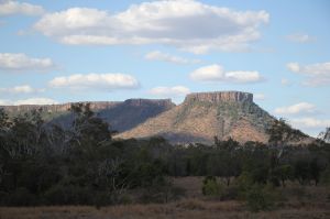
Viewed from a distance, Lords Table Mountain, featuring Anvil Peak, is impressive.
Photo credit: Linda Thompson © Queensland Government
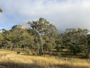
Take in Lords Table Mountain imposing views from a roadside rest stop.
Supporting the largest area of dry rainforest (semi-evergreen vine thicket) in Peak Range, Lords Table Mountain is located in the central section of the range. The mountain is divided in two, with the smaller Anvil Peak at the southern end, closest to the road.
Reaching more than 740m above sea level, the remarkable, flat-topped plateau rises 320m above the surrounding landscape. Overlying 15 basalt benches, this incredible geological feature is capped by a flow of resistant trachyandesite, which is 30m thick.
A roadside, local council-provided, day-use area with parking and a picnic table is a great, shady place to take in the imposing views of Lords Table Mountain, while enjoying your morning or afternoon tea. Access is via the Dysart-Clermont Road.
If you are self-reliant and well-prepared, Lords Table Mountain offers challenging remote bushwalking opportunities through varied plant communities.
For well-prepared, self-reliant hikers, remote walking during daylight hours is possible at Lords Table Mountain. Entry is on foot via a national park gate situated on the south-west boundary, just off the Dysart–Clermont Road. Find your way to the foothills of the mountain or walk the firebreak along the national park boundary to view the mountain from a distance.
Overnight camping is not currently permitted, remember to complete your hike during daylight hours.
Other things to do
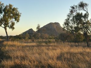
Mount Pollux, Gemini section, Peak Range National Park
Photography
Snap an early morning or late afternoon image of the peaks. Wolfang Peak, rising more than 80m above the surrounding farmland, is an impressive, isolated fang-like projection of volcanic rock, with bands of grey and purple rhyolite. It can be viewed from the Peak Downs Highway.
Fossicking
Fossicking is a popular activity in the Clermont area. Licenced fossicking can occur in the general permission areas in Blair Athol State Forest, Apsley State Forest and Copperfield State Forest. All fossicking in a general permission area (GPA) within a State Forest requires a licence and special conditions apply.
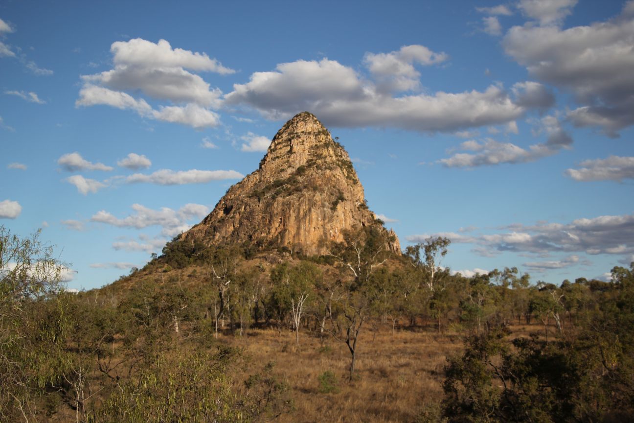
Wolfang Peak, the volcanic plug, is one of the park’s distinctive landmarks. Access is to the base only.
Photo credit: Linda Thompson © Queensland Government
- There are currently no park alerts for this park.