Mount Norman day-use area
Enjoy a picnic at this peaceful and grassy area before your walking or mountain bike adventure along the park’s shared trails.
Accessible by
- Conventional vehicle
Attraction facilities
- Picnic tables
- Toilets (non-flush)
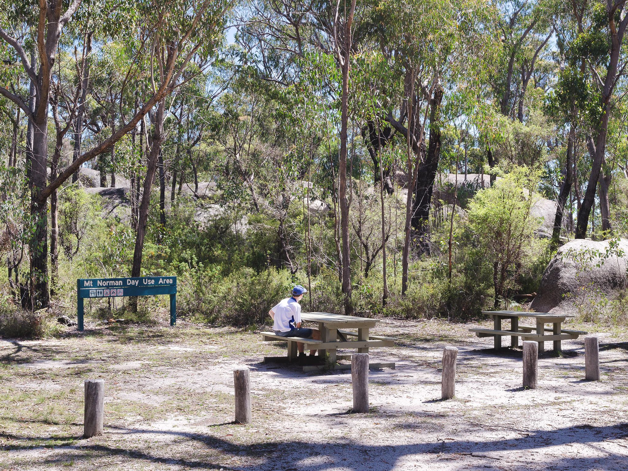
Throw down the picnic blanket, or use one of the tables provided, and enjoy a picnic lunch in this peaceful, grassy picnic area set among eucalypt forest and surrounded by heath plant communities.
This day-use area is a great base from which to explore the park’s southern walking tracks. Set out to conquer Girraween’s highest peak, Mount Norman, or take a mountain bike ride or longer walk along the shared Peak and Creek trails to the top of Underground Creek. If you have a 4WD, cruise along Mount Norman Road north from this point to the Girraween visitor information building.
Getting there and getting around
The Mount Norman day-use area is in the southern part of Girraween National Park, located on the Queensland–New South Wales border, 260km by road (approximately 3.5hrs) south-west of Brisbane. Helpful hint: screen shot the directions in the event mobile reception is lost..
Mount Norman Road to the Mount Norman day-use area is accessible by conventional vehicles. North of the Mount Norman day-use area, sections of Mount Norman Road is suitable for 4WDs only.
From Stanthorpe to southern entrance (approx. 40-50min)
- Drive 37km south on the New England Highway to Wallangarra.
- In Wallangarra, cross to the eastern side of the railway line, go over the railway bridge and turn left onto sealed and signposted Mount Norman Road.
- After about 2km the road changes to gravel, turn right across a grid and continue for 1km then turn right at the water treatment plant and enter the park.
- Drive 3.5km along Mount Norman Road to the Mount Norman day-use area.
From Tenterfield to southern entrance
- Drive 18km north on the New England Highway to Wallangarra.
- In Wallangarra, cross to the eastern side of the railway line, go over the railway bridge and turn left onto sealed and signposted Mount Norman Road.
- After about 2km, the road changes to gravel. Turn right across a grid and continue for 1km then turn right at the water treatment plant and enter the park.
- Drive 3.5km along Mount Norman Road to the Mount Norman day-use area.
Wheelchair access
There are no wheelchair-accessible facilities.
Before you visit
Opening hours
Mount Norman day-use area is open 24 hours a day
Check park alerts for the latest information on access, closures and conditions.
Visiting safely
For more safety information see Visiting Girraween safely.
- Planned works Girraween visitor information building 19–23 October 2026
- Camping capacity reduced to minimise water consumption 6 October to 31 December 2026
- Swimming in Bald Rock Creek prohibited 18 September to 31 December 2026